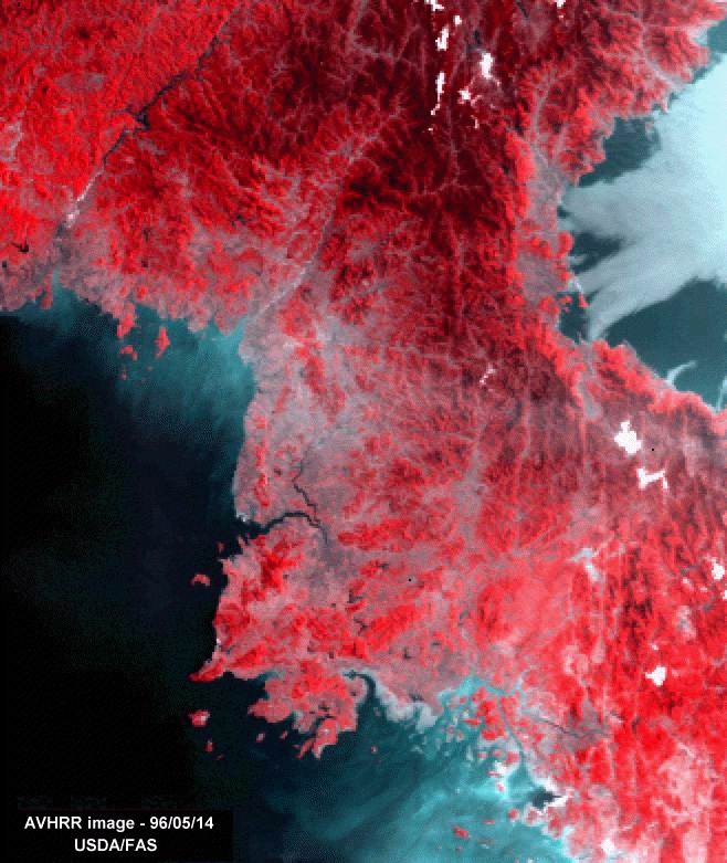
This AVHRR false-color image shows much of North Korea in detail.
Vegetation is red, cities are gray, and oceans are blue. Seoul and P'yongyang are both
visible. The Amnok (Yalu) River, forming the boundary with China, is visible in upper left
Mountains dominate the land. The only plains are in the west.
This image was processed by the Foreign Agricultural Service
of the U.S. Department of Agriculture

HTML code by Chris Kreger
Maintained by ETE Team
Last updated April 28, 2005
Some images © 2004 www.clipart.com
Privacy Statement and Copyright © 1997-2004 by Wheeling Jesuit University/NASA-supported Classroom of the Future. All rights reserved.
Center for Educational Technologies, Circuit Board/Apple graphic logo, and COTF Classroom of the Future logo are registered trademarks of Wheeling Jesuit University.